Insurance assessment photography
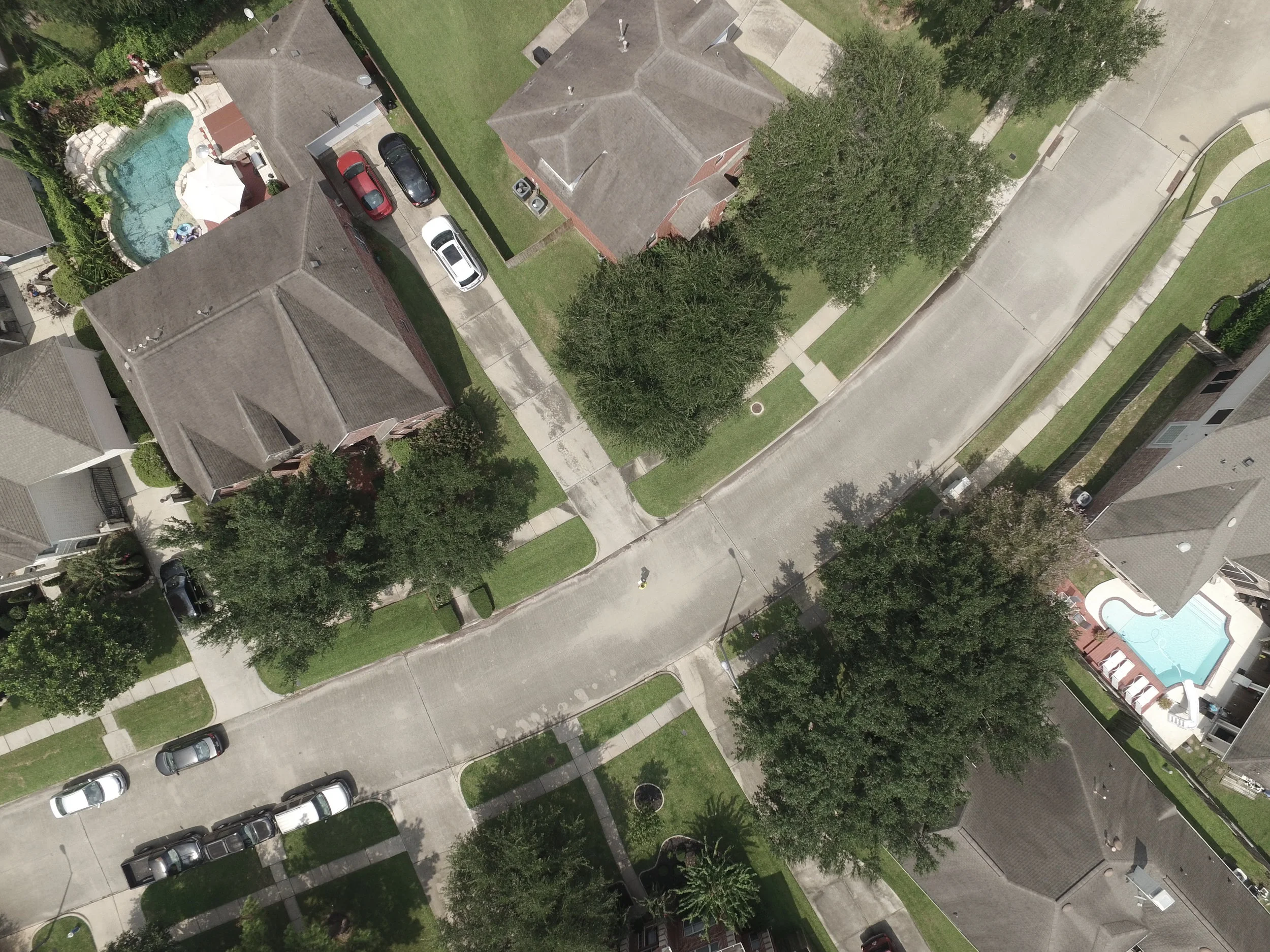
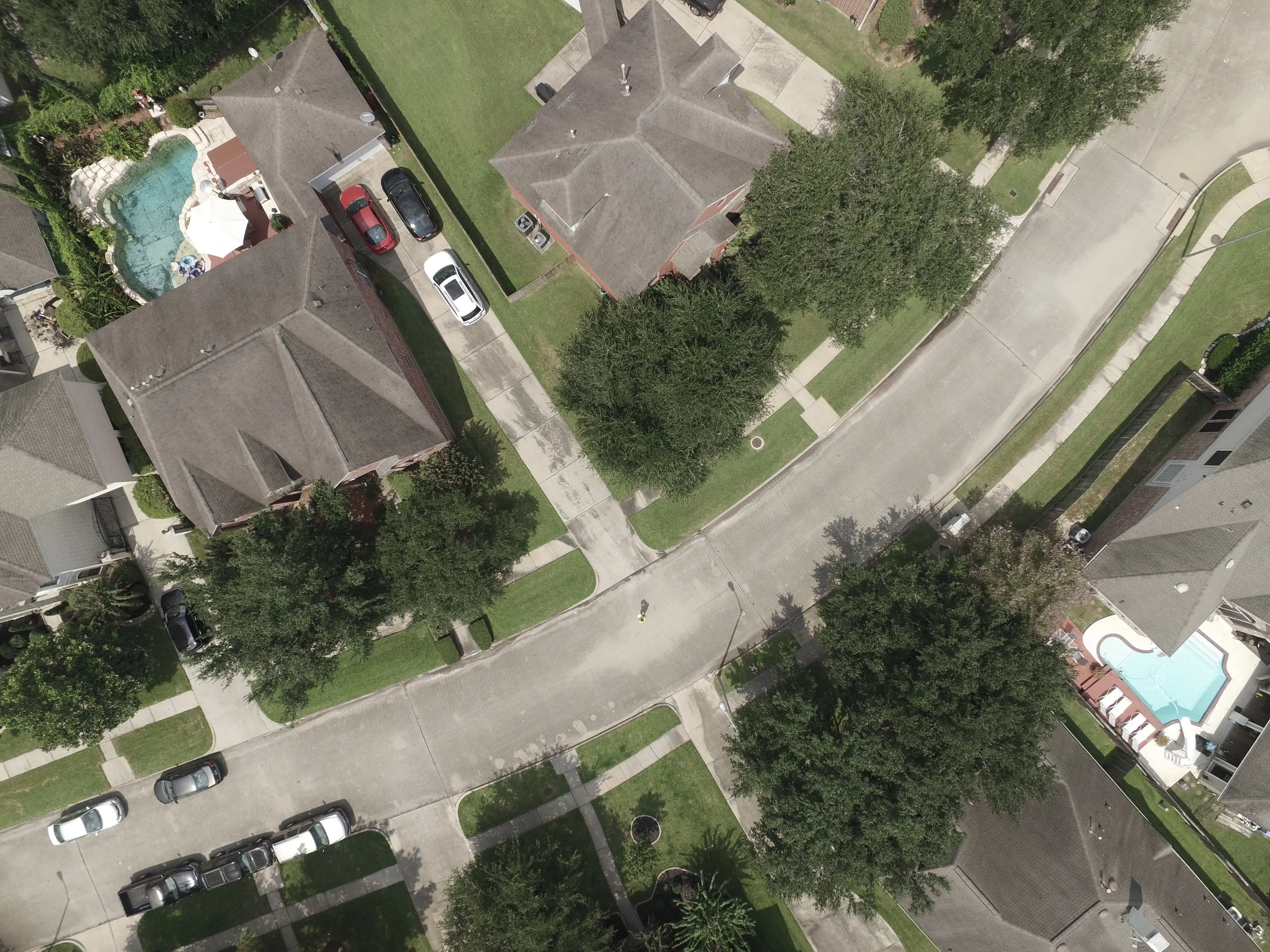
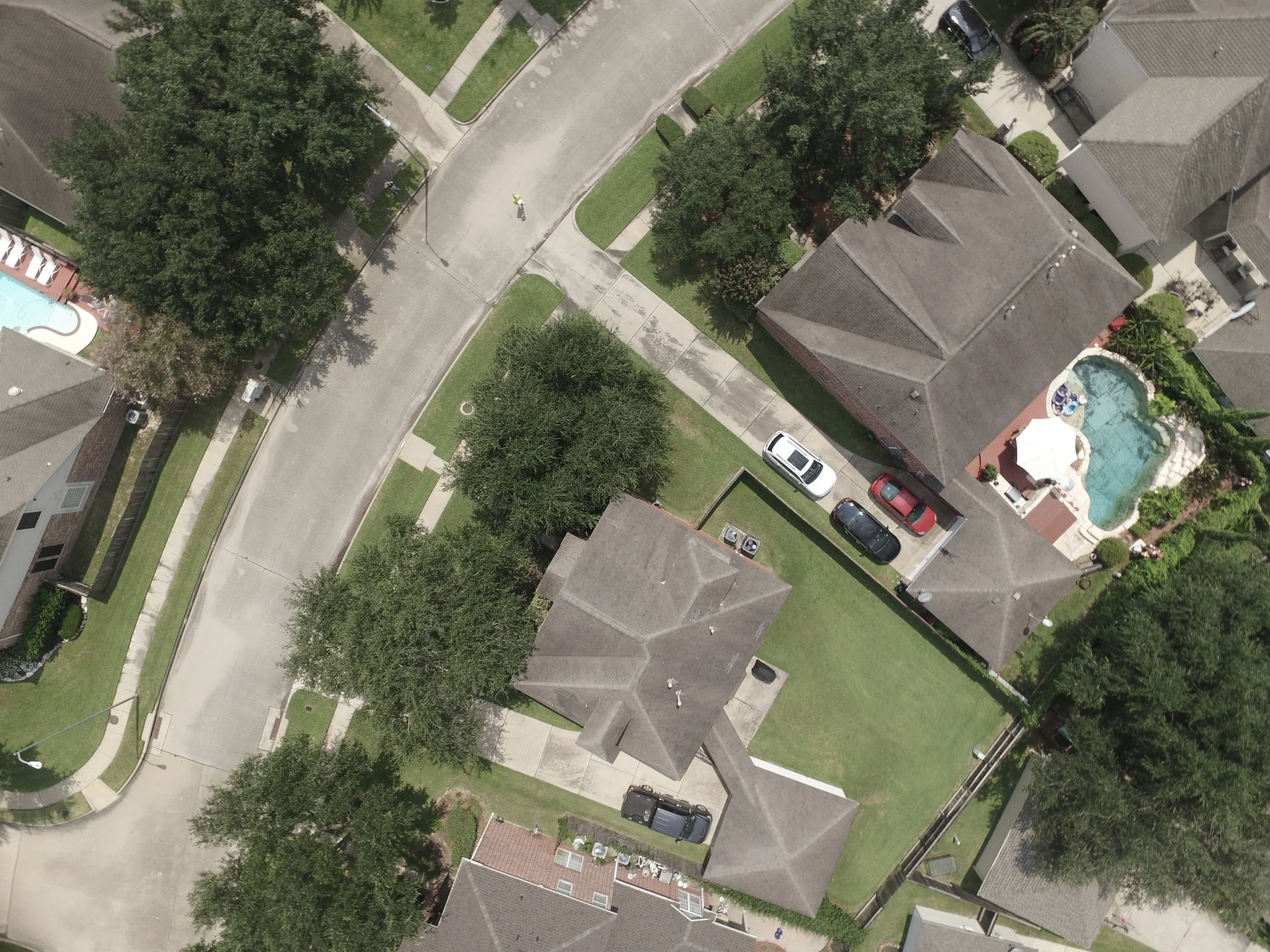
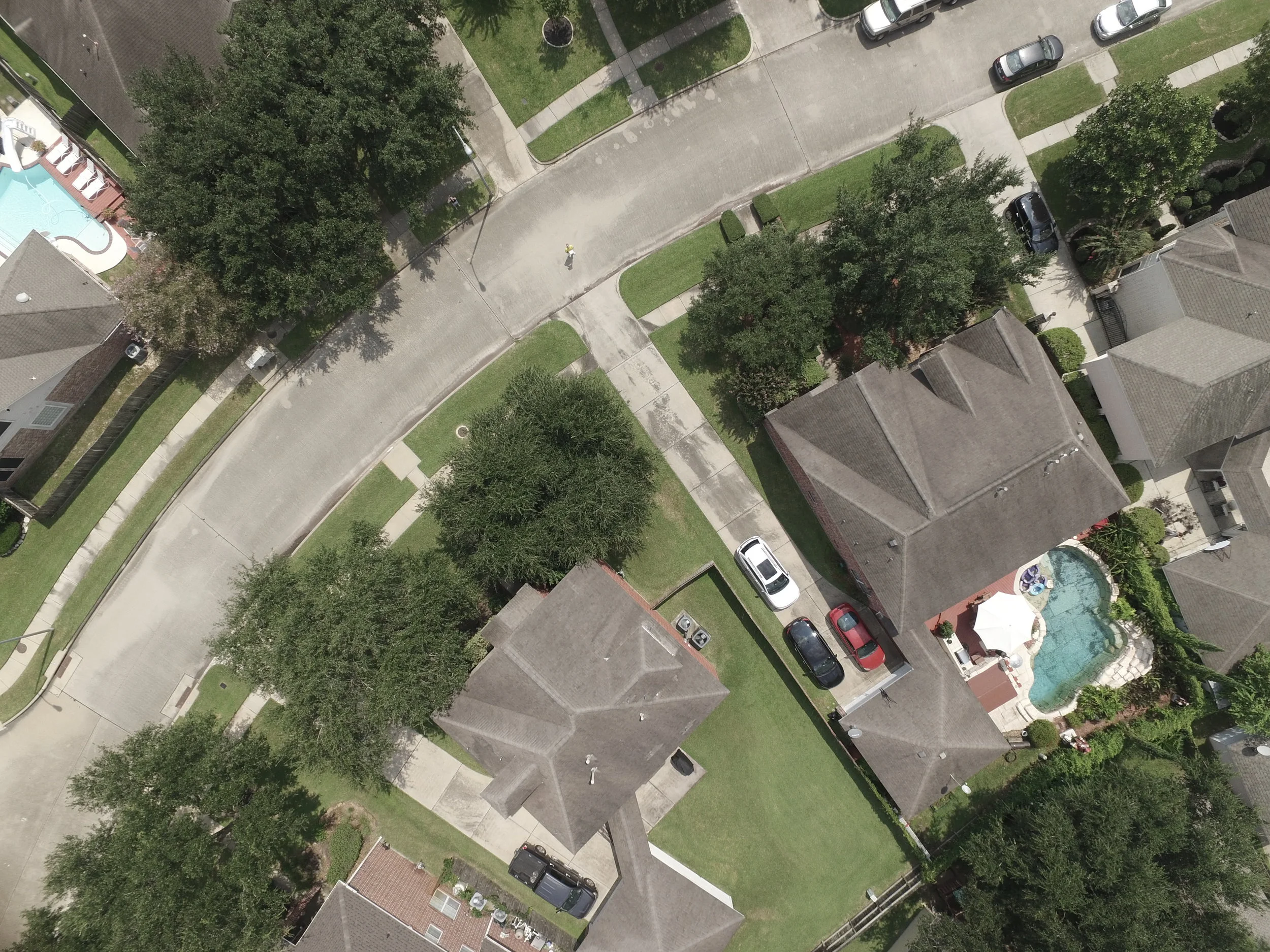
The insurance sector has immediate needs that can be fulfilled by drones in multiple areas such as floods, droughts, fires, earthquakes and hurricanes. The ability to monitor pre/post disasters areas will provide the ability to limit insurance fraud. This will also reduce the potential for injury to insurance personnel task with performing damage assessments.
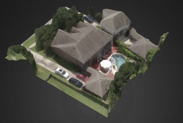
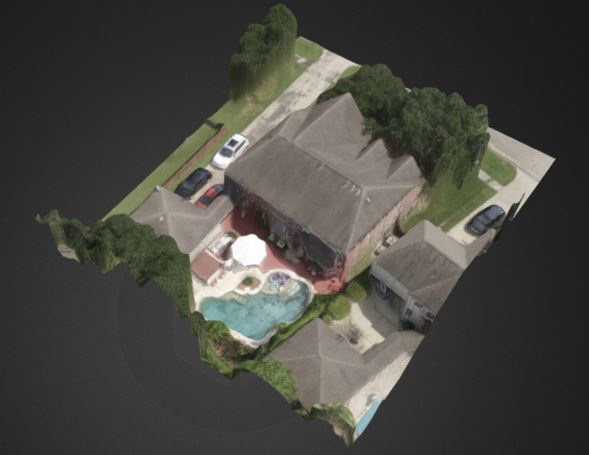
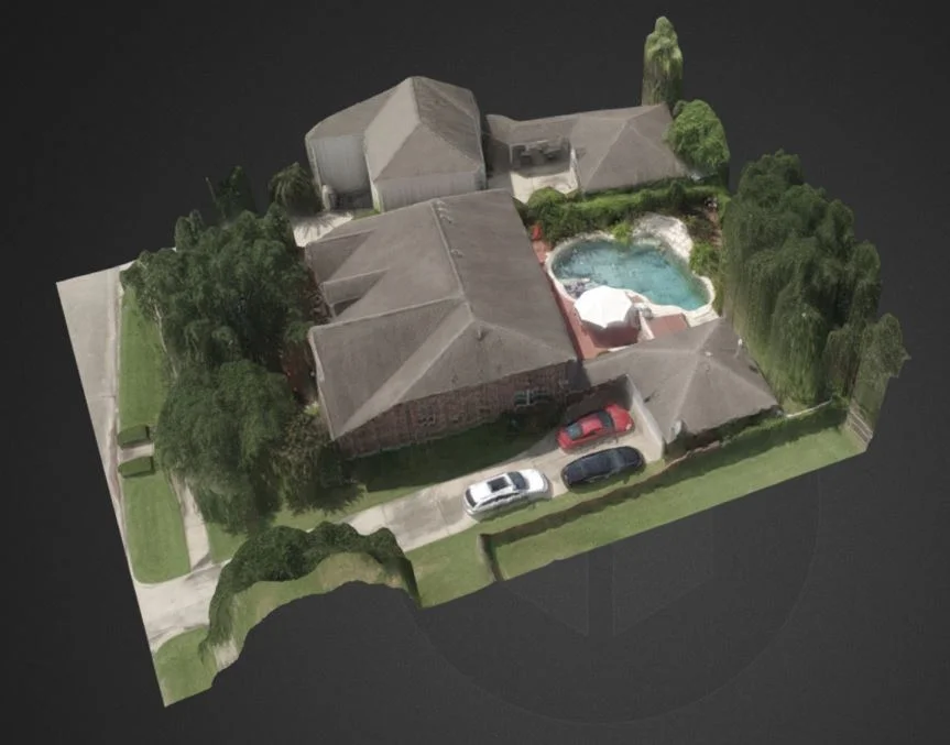
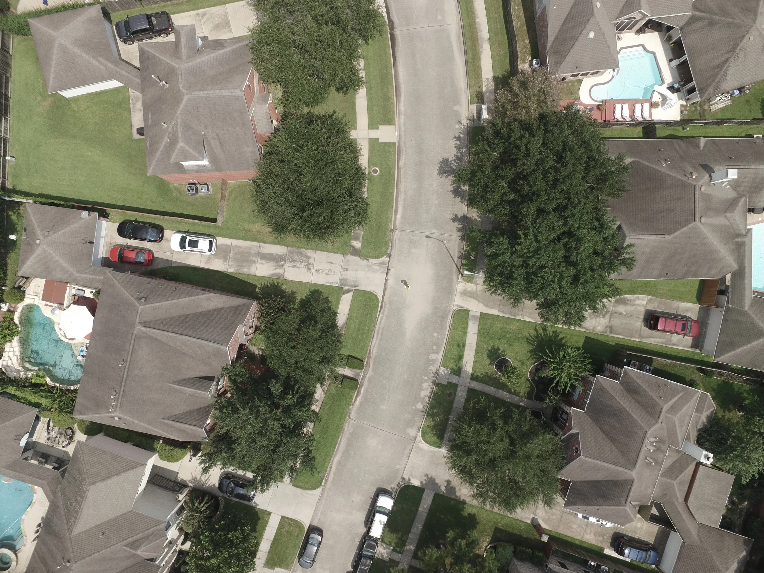
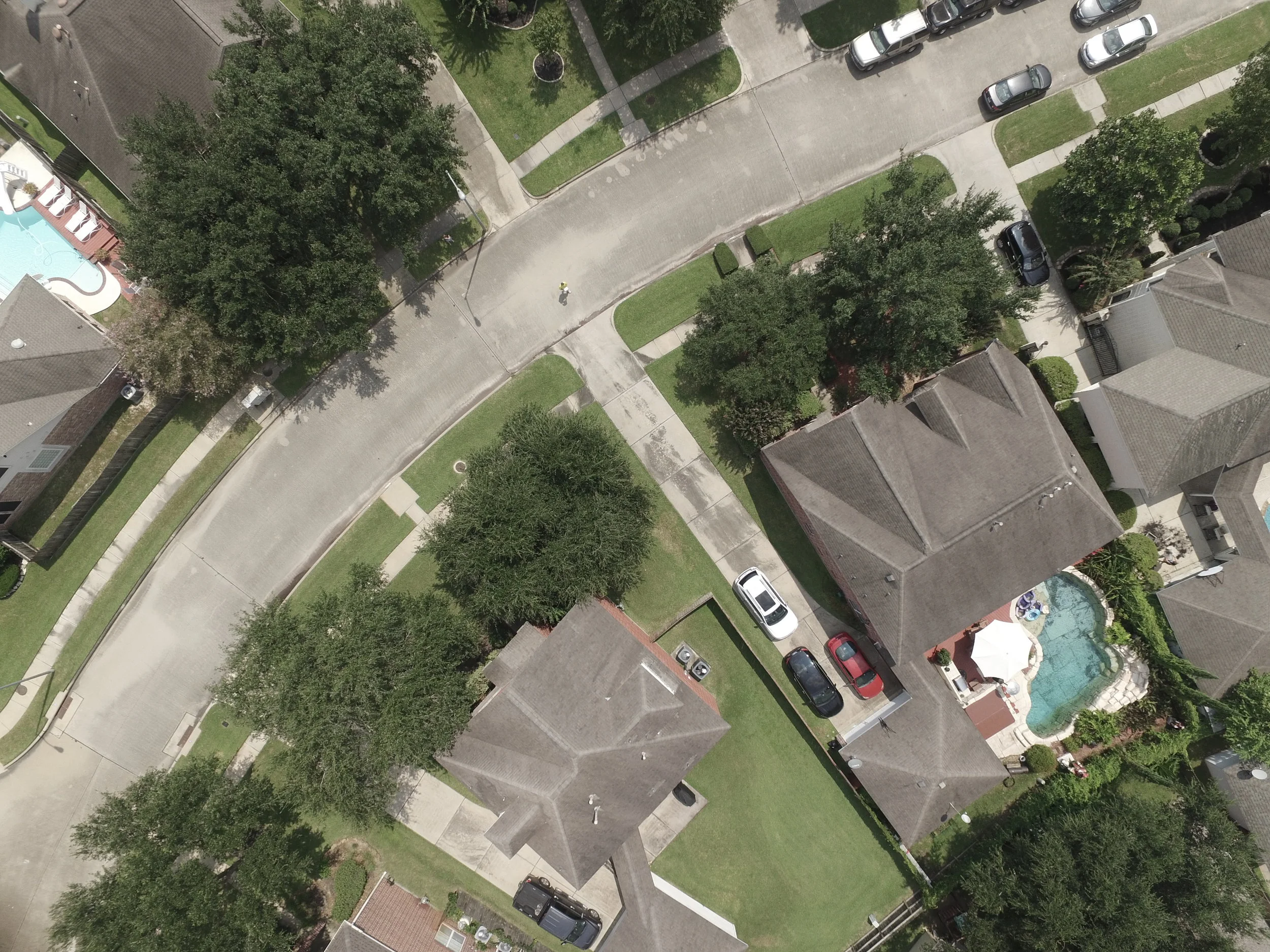
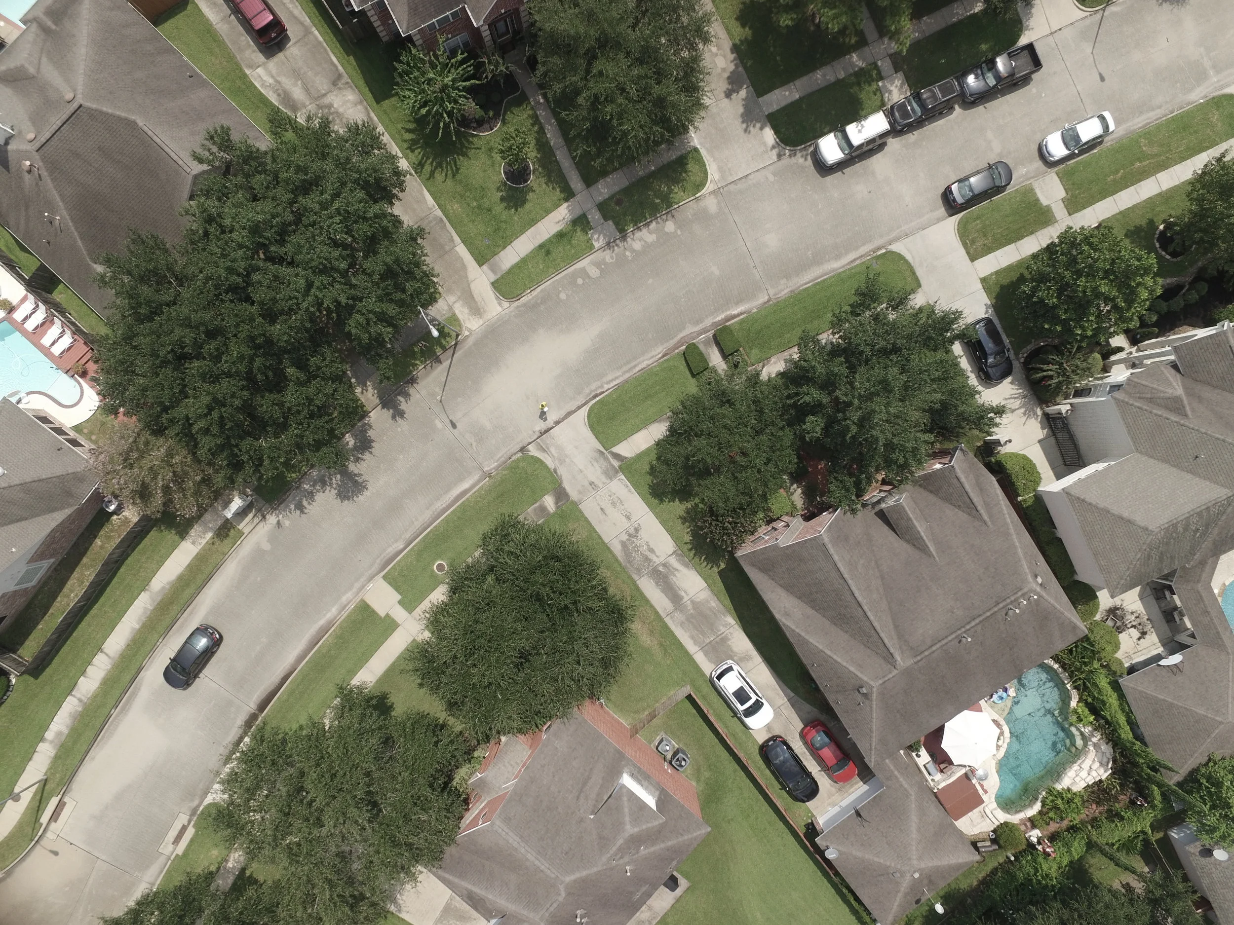
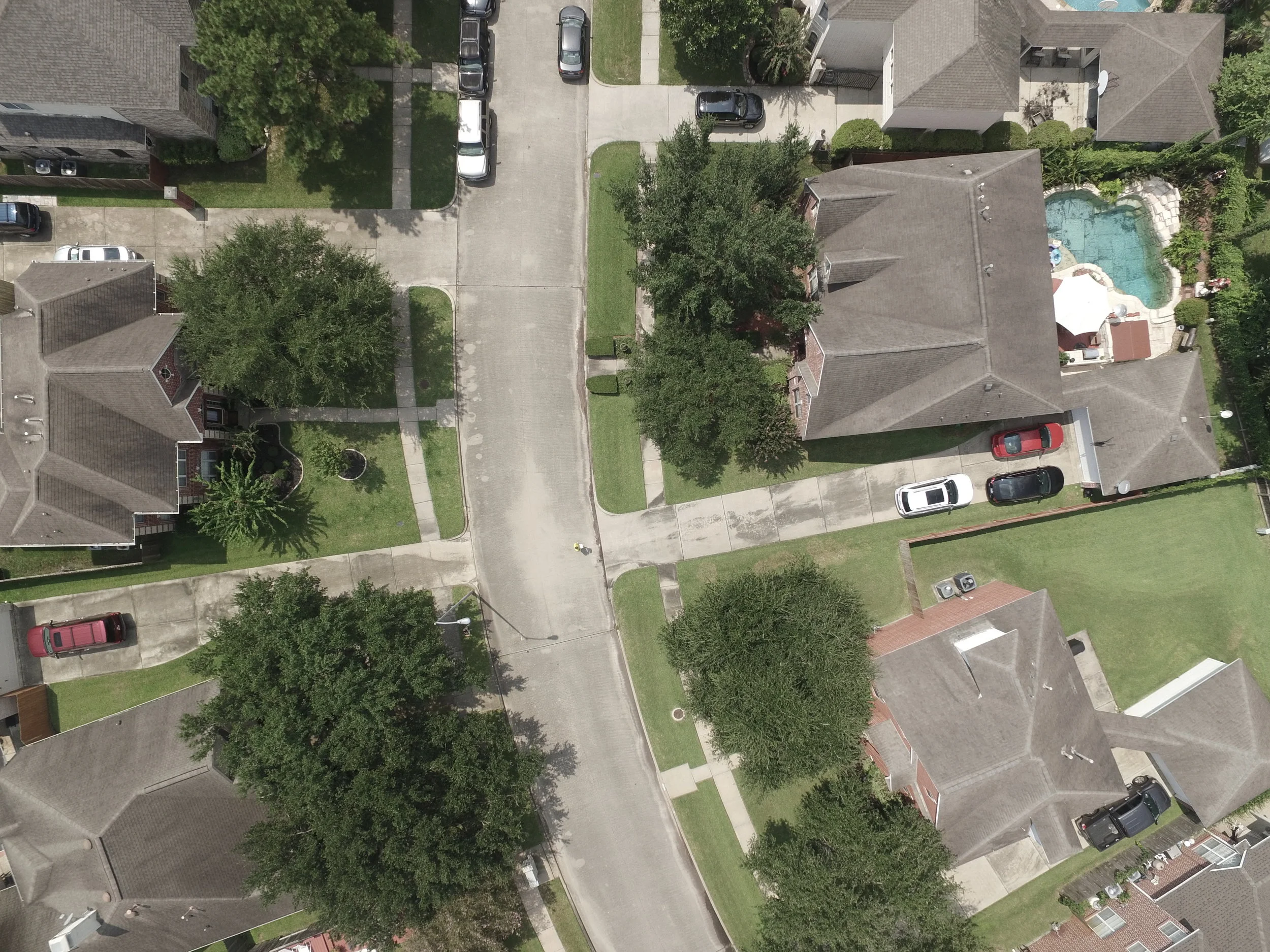
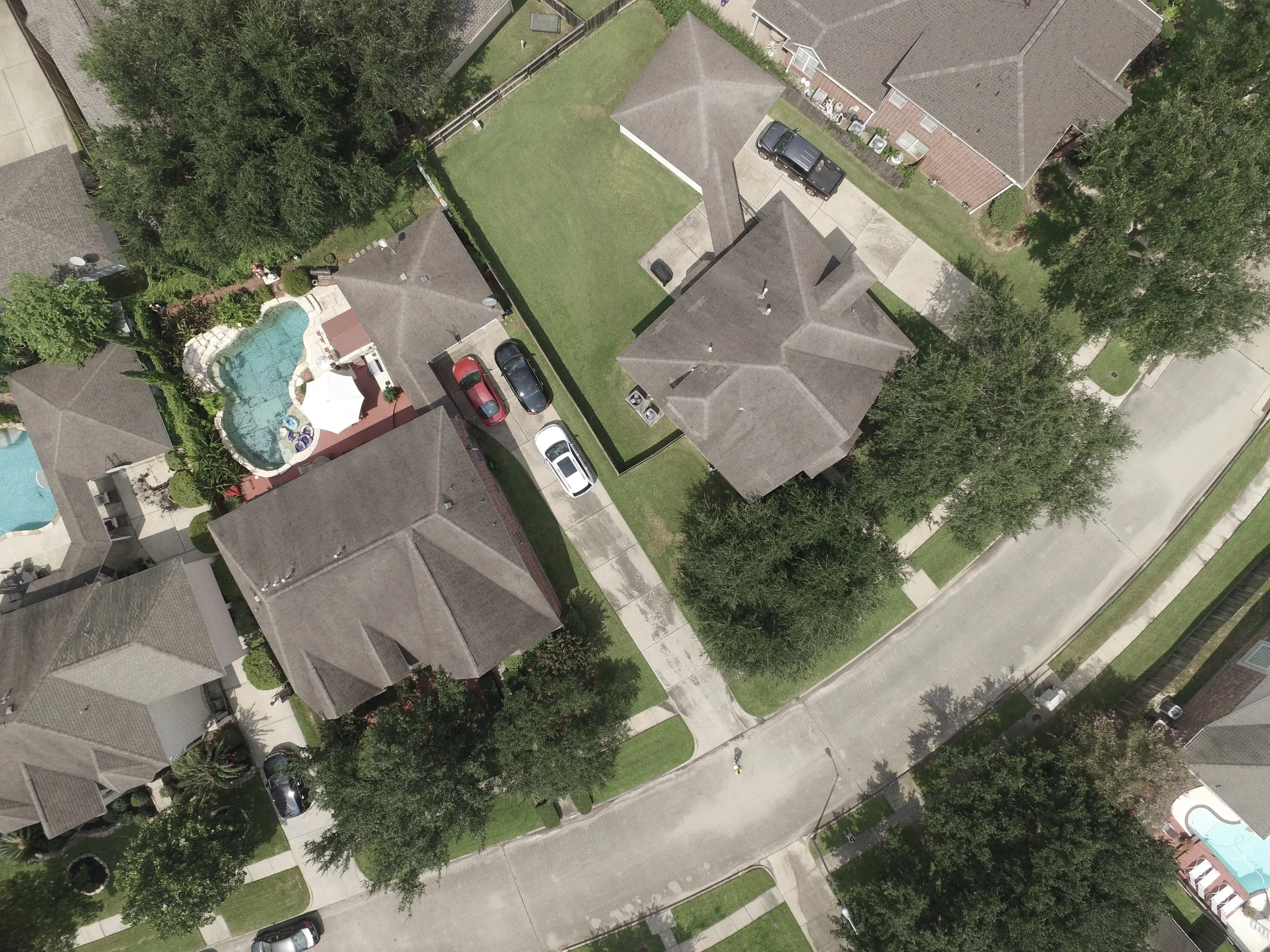
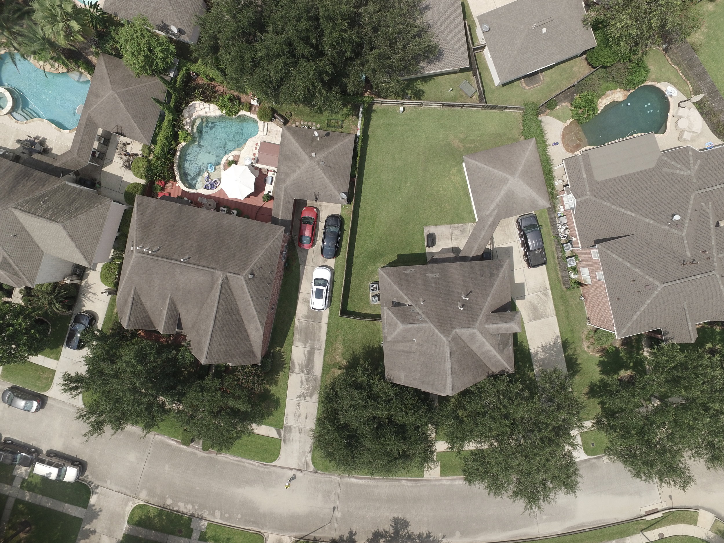
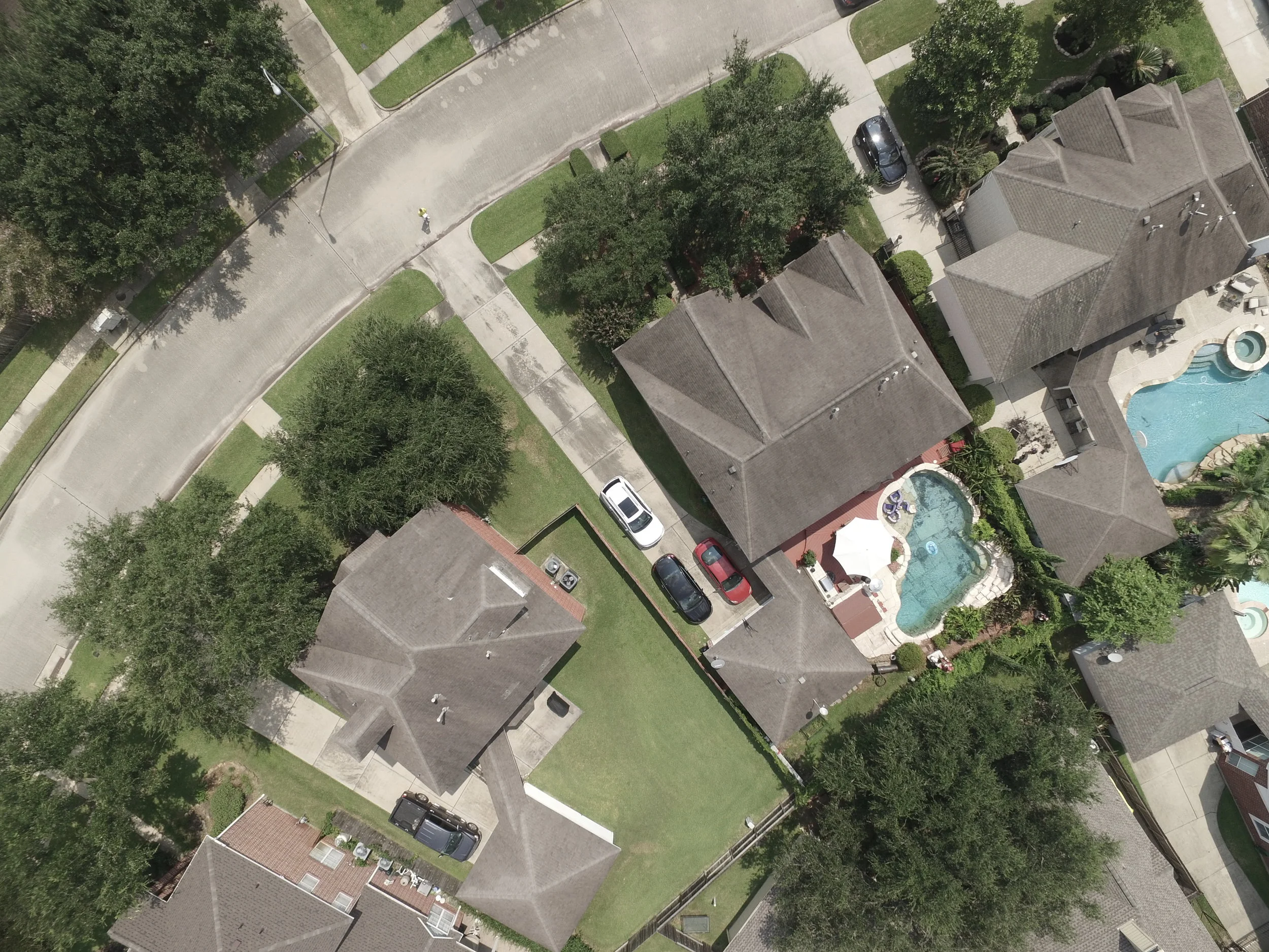
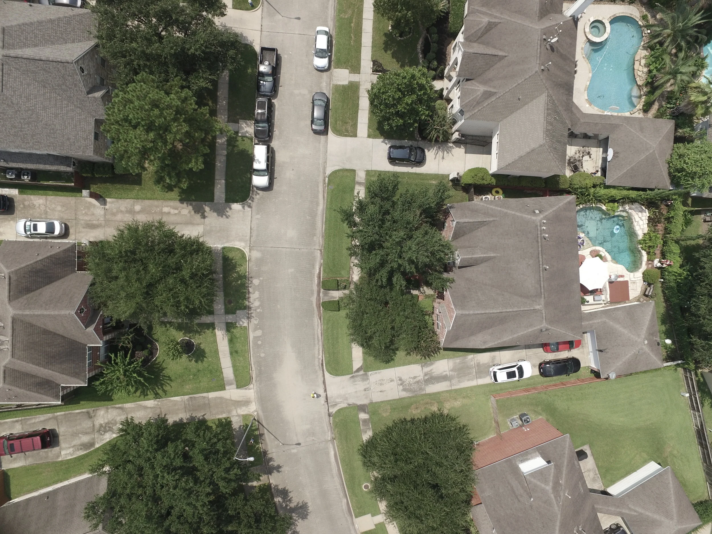
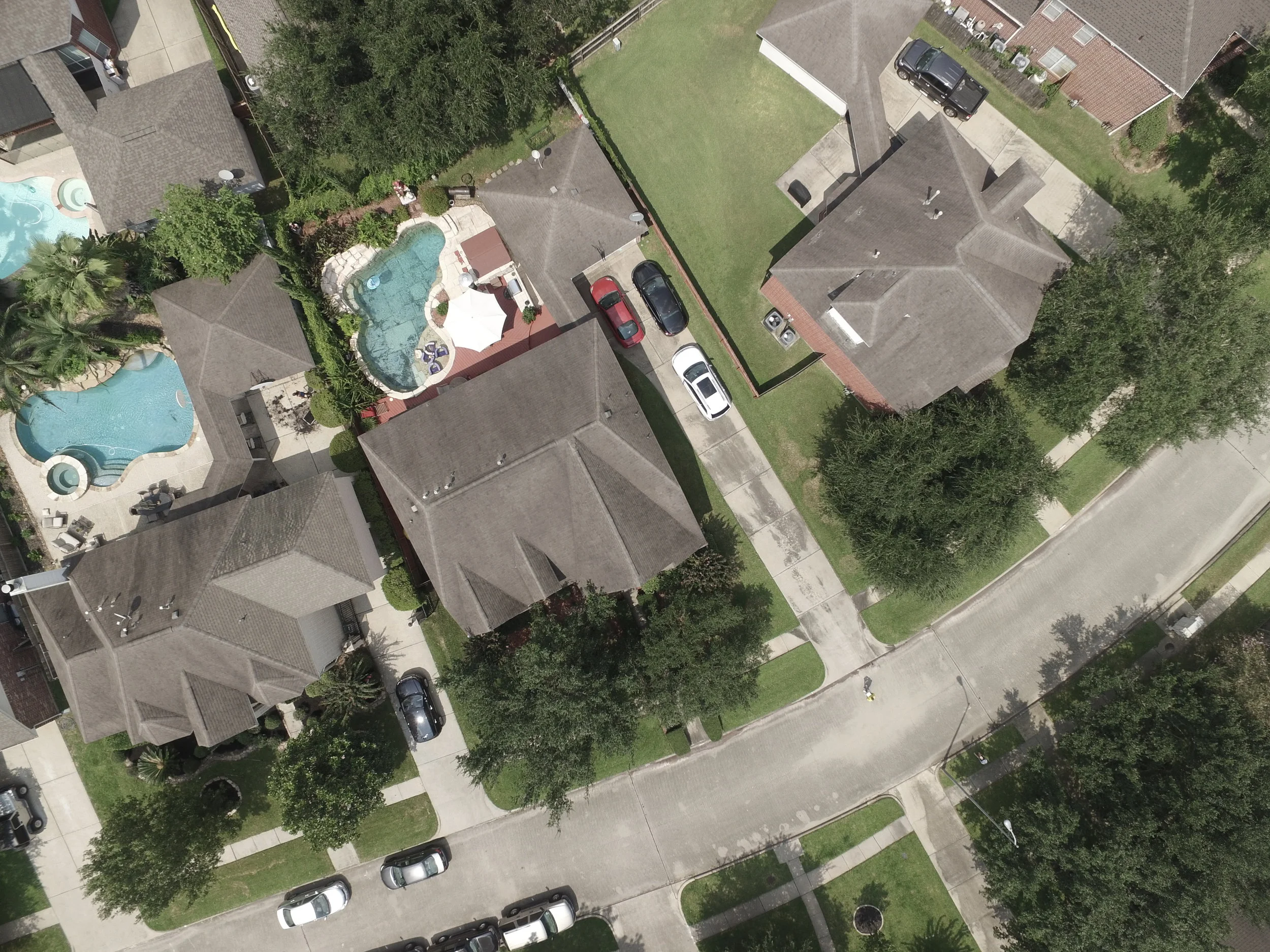
By leveraging TheDronEdge capabilities insurance companies could quickly and less expensively identify insured customers, and asses the level of damage more cost effectively reducing time and risk to personnel. TheDronEdge UAVs can collect information on the condition of roof inspections, buildings, inventories, structures and other factors, and provide key information not only to enhance the process of damage evaluation but also to save lives. The drone mapping images can then be processed using Drone Deploy state-of-the-art software to provide a 3D image of the subject property.
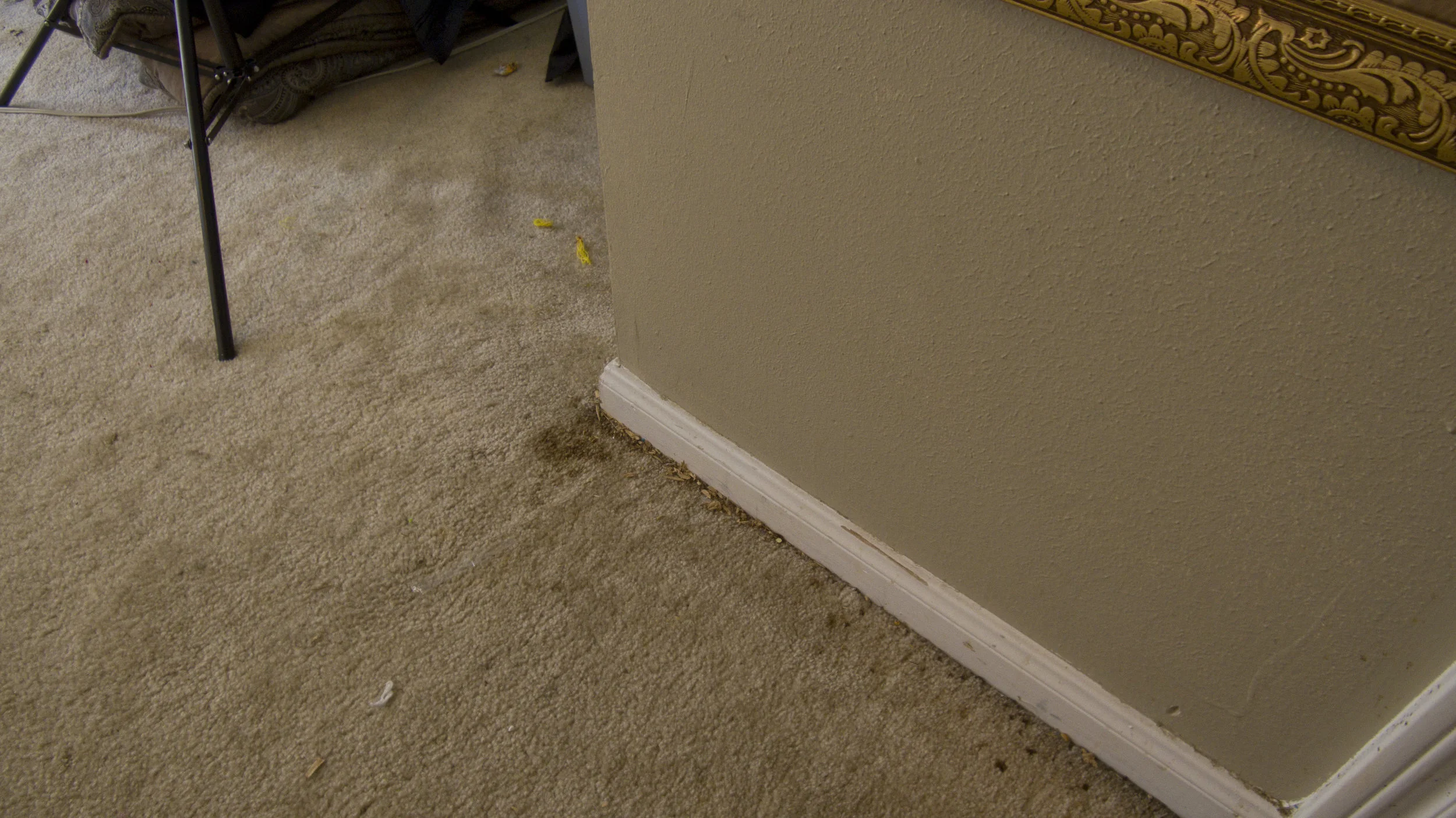
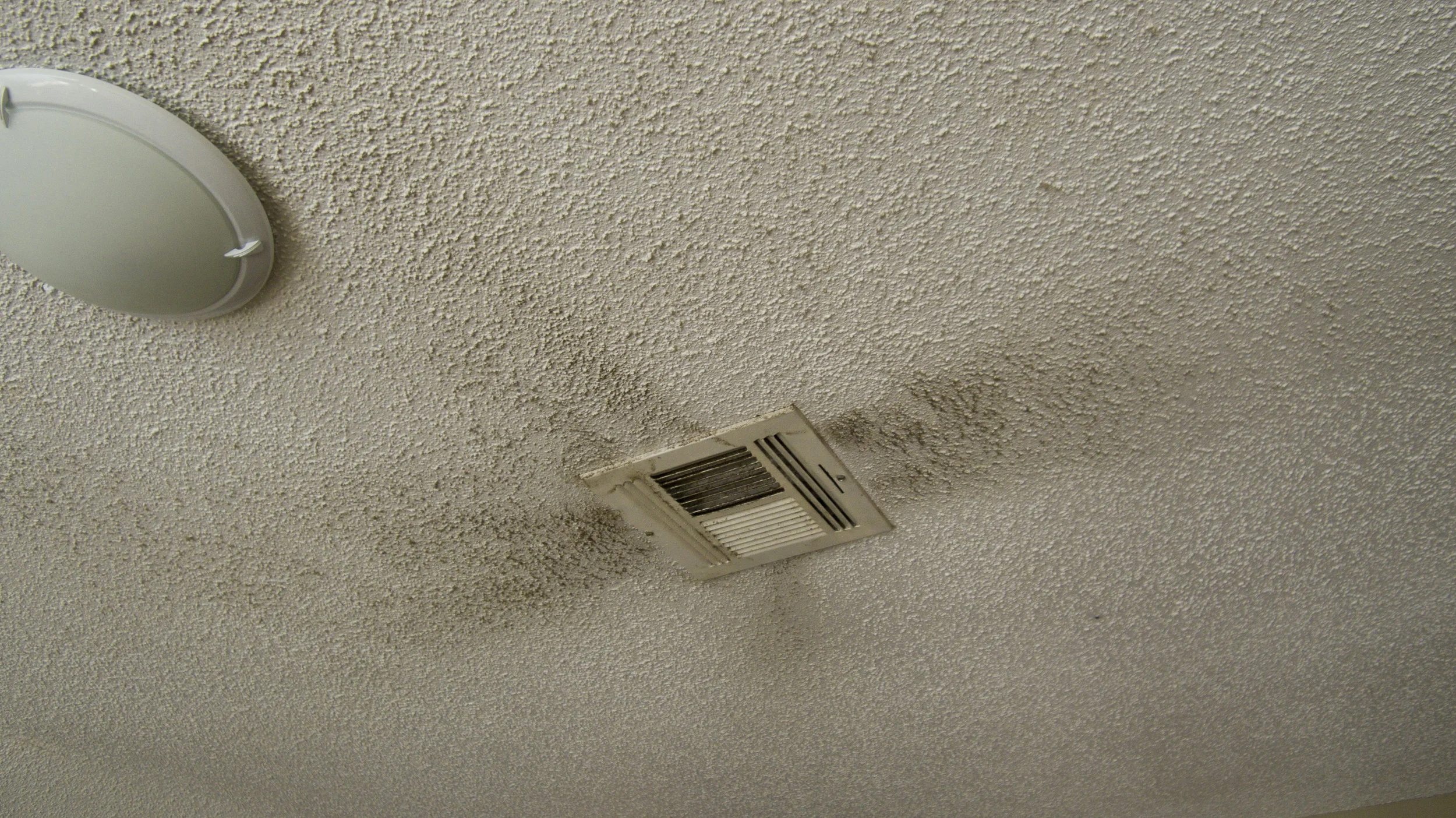
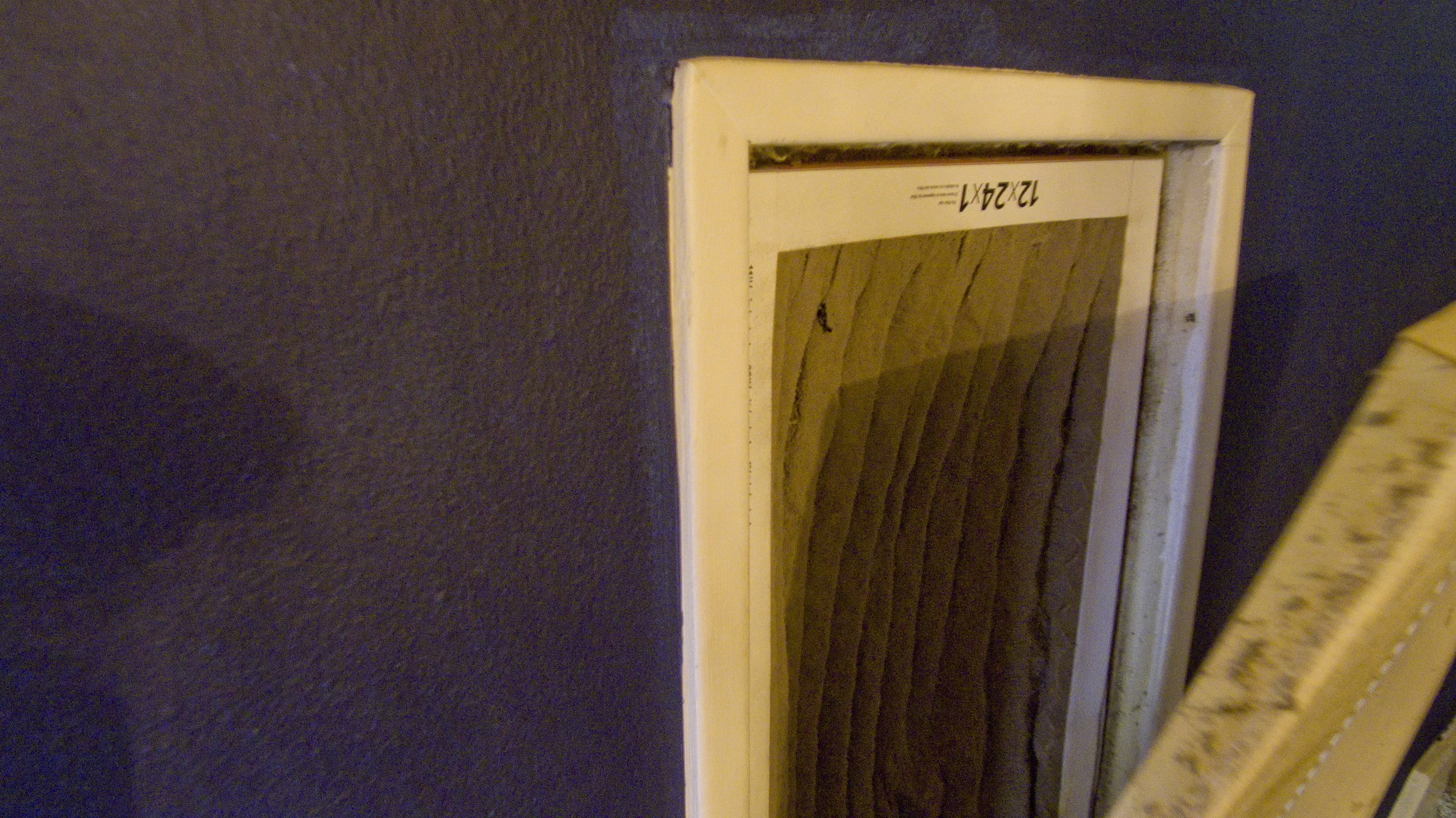
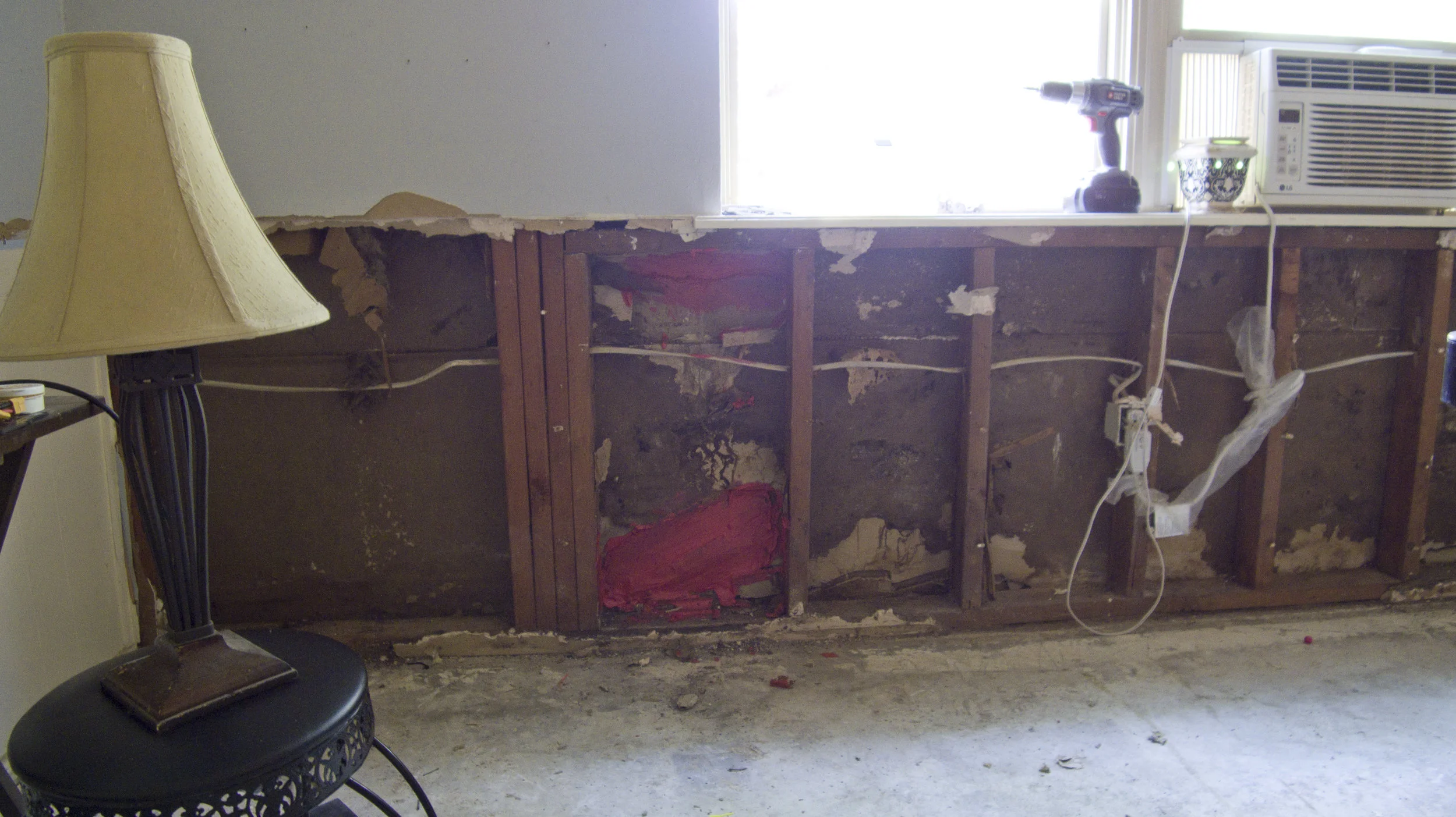
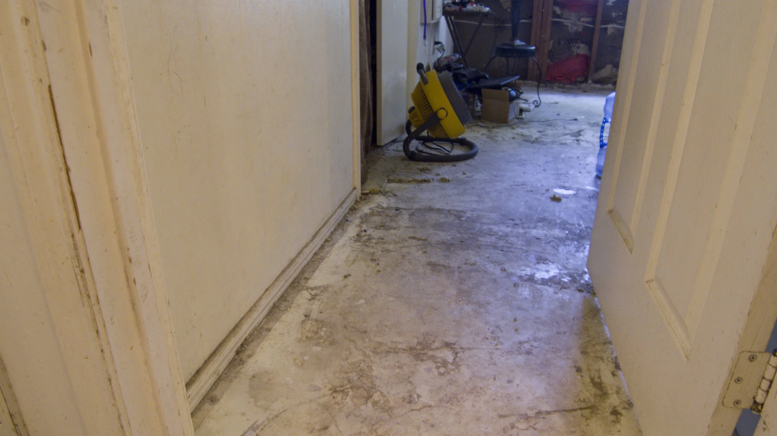
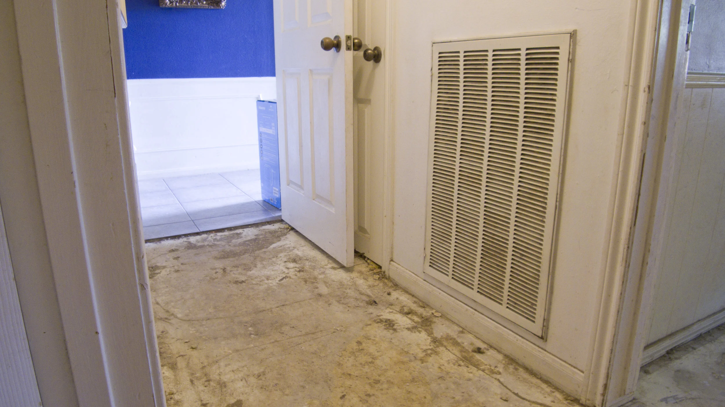
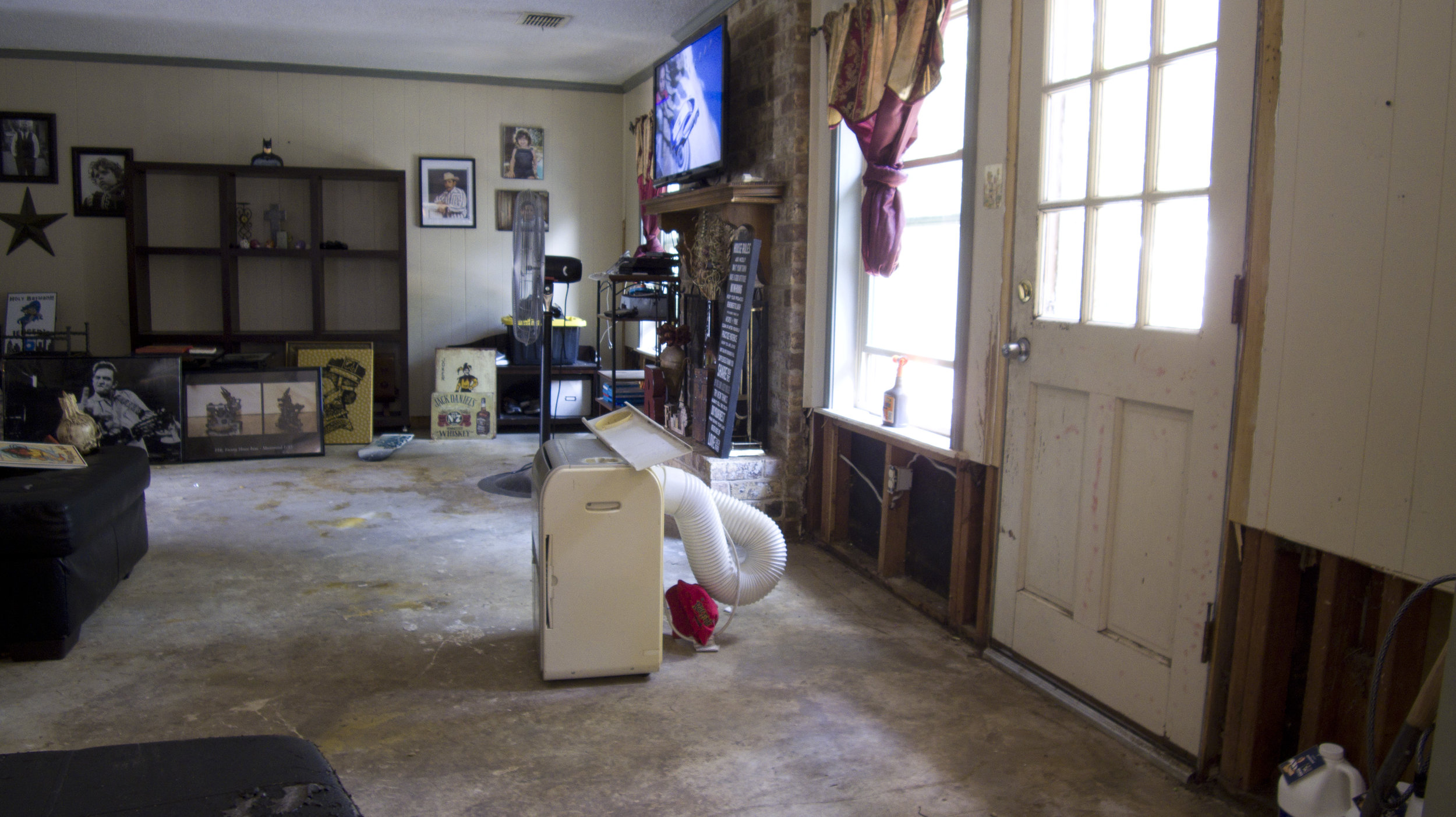
HD images can be provided for interior damage assessment if needed.


